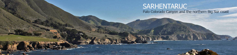
Rancho San José y Sur Chiquito
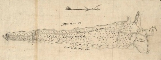 Courtesy of The Bancroft Library, University of California, BerkeleyThe earliest map we know for our stretch of coast is the diseño of Rancho San José y Sur Chiquito above. A diseño is a hand-drawn descriptive map that was submitted in an application for a Mexican land grant. Rancho San José y Sur Chiquito was first granted to Teodoro Gonzales in 1835 and then regranted to Marcelino Escobar in 1839. Legend says that it was later lost in a card game to eight soldiers from the Monterey presidio.
Rancho San José y Sur Chiquito takes its name from two creeks: San José Creek and El Río Chiquito del Sur — the Little Sur River. But as you can see above, the diseño seems to map the Rancho as extending from the lower reaches of the Carmel River to Palo Colorado Canyon.
If you click on either of these images, it's fun to zoom and scroll around and come upon many familiar names and places.
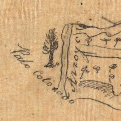 Courtesy of The Bancroft Library, University of California, BerkeleyFor instance, in this detail from one of the diseños, Palo Colorado Canyon is clearly marked. In fact, if we ever need a logo for our community, we might consider that cool hand-sketched redwood tree above.
__________________
Note
Debi's just posted a terrific new blog on her horseback photography trip in Montana. "The Wild West — Part 1" is over on our Red Egg Journal.
 Chris & Debi